Our solutions are built to safely integrate drones into airspace alongside other air traffic and systems, while being future-proof to adapt to the evolving industry.
- All
- Mobile Applications
- Desktop Applications
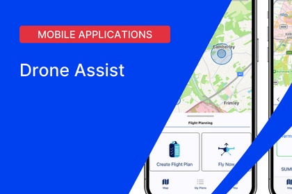
Mobile flight planning and approvals.
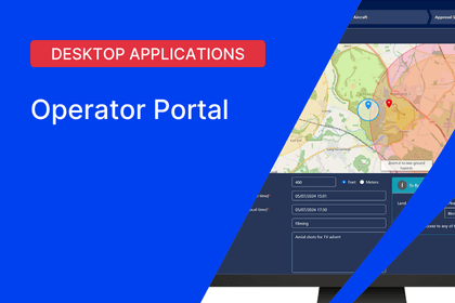
Desktop flight planning and authorisation tool
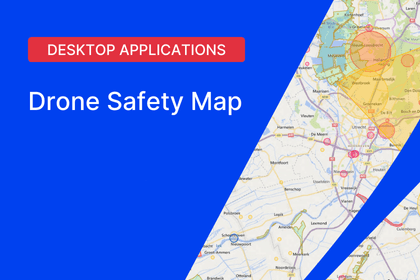
Web-based airspace information map.
Take flight
We're making it easier & safer for you to fly
Flying a drone might look easy, but it takes some true skill and knowledge to understand the regulations and your environment. Like driving, where there are rules of the road, there are also rules which need to be followed in the sky to ensure you and those around you stay safe. Our free suite of planning and management tools show you where you can and cannot fly, what you may need to look out for, what obstacles could be in the way and where you may need permission from third parties to fly your drone.


Incident reporting
If a flight doesn't go well, tell us
Not every flight will be perfect. Altitude Angel believes safety comes first and is key to ensuring the drone industry not only grows, but thrives. This is why we champion ‘just culture’ reporting, so lessons can be learnt from others mistakes, and hopefully not repeated. If you’re involved in an incident which others could learn from, let us know.
