Want access to leading airspace data and services? Get your API key with our free 30-day trial

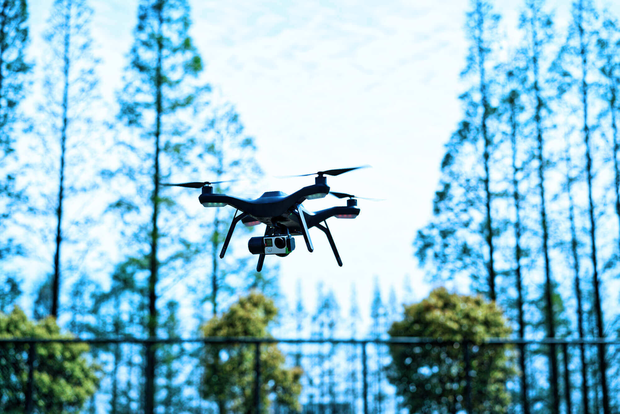
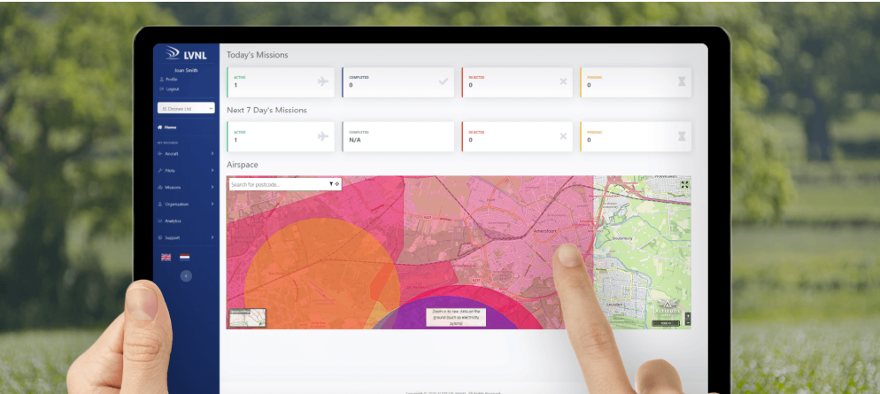
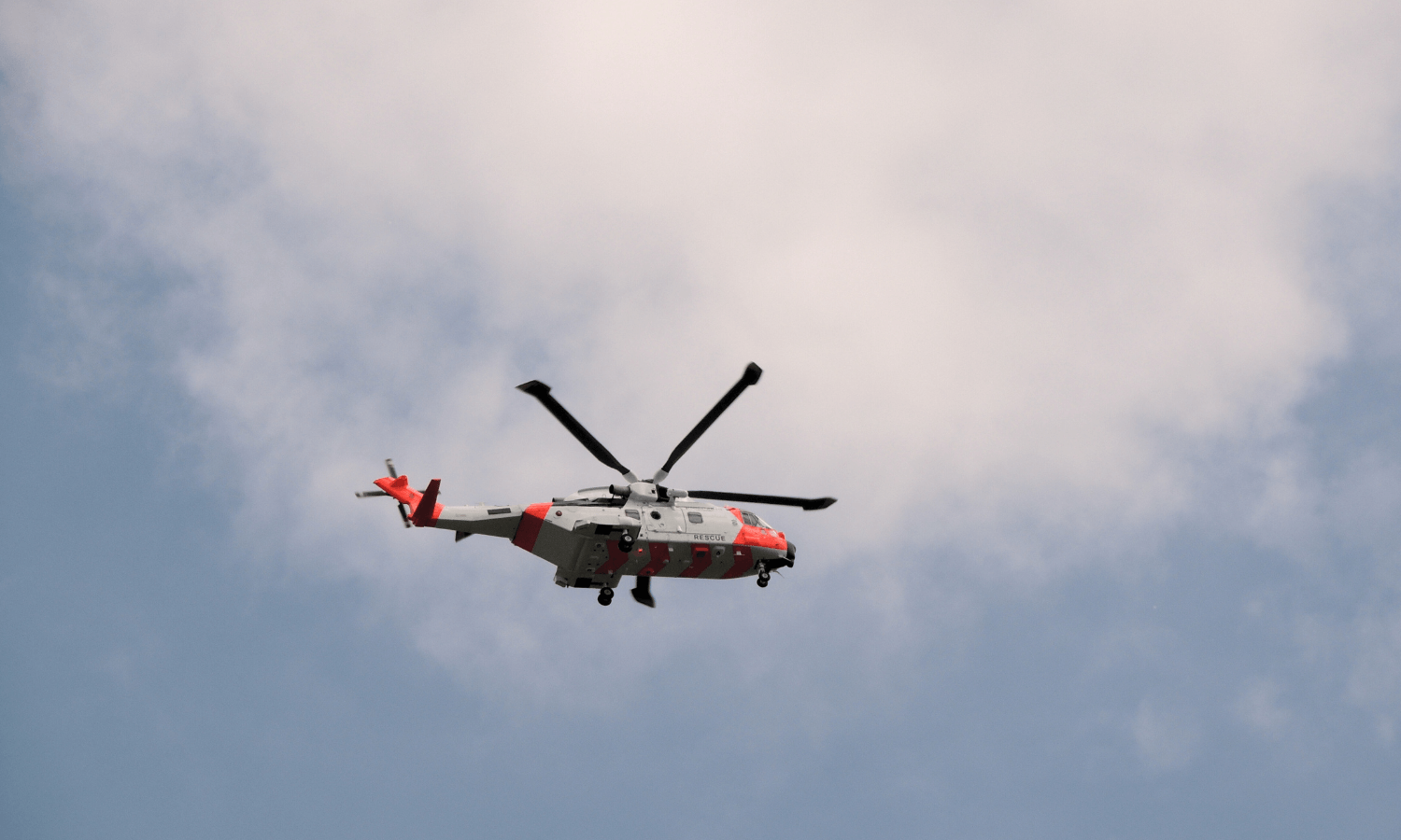
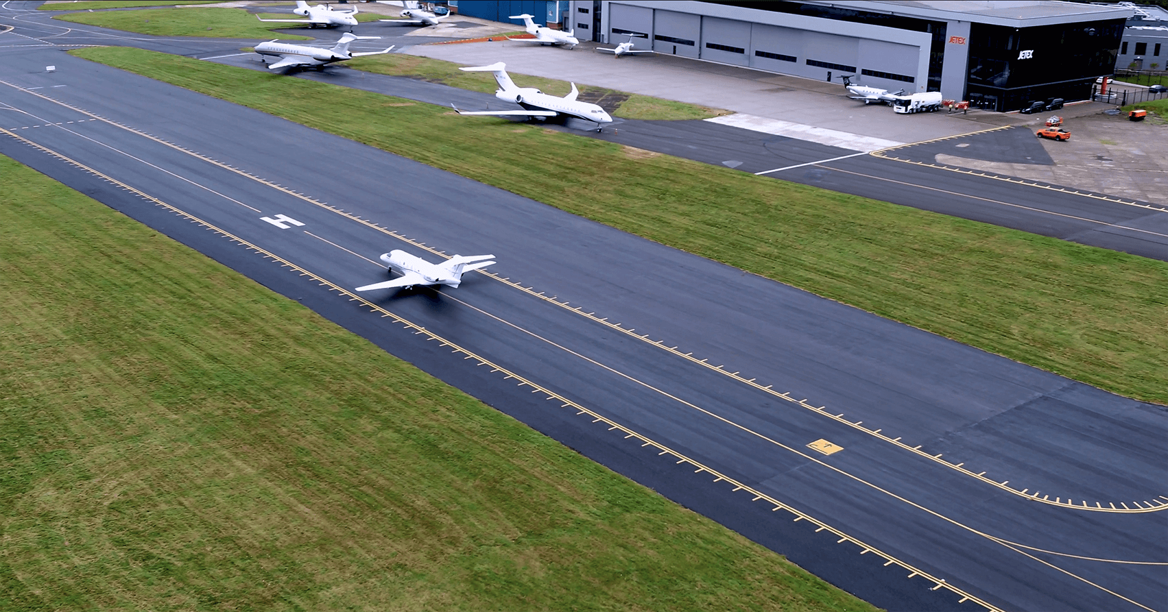
Revolutionising Airspace: Unified Traffic Management Platform for Scalable Drone Integration

360° SaaS Solutions for Airspace Management, from ANSPs to Drone Operators

Get in touch


Find the right solution:


Explore a range of solutions tailored to your industry, business, or personal drone use. Whether you're looking for airspace management tools, access to the world’s most accurate drone navigation data, or an app to submit and complete drone flights, there's a solution for you.


Select the option that best fits your needs:

airplane vector
We manage national airspace

air traffic tower vector
We manage airspace

land vector
We own land

computer software engineer vector
We develop drone software

delivery drone vector
We manufacture drones

drone vector
We fly drones


arrow tower vector
We support BVLOS operations


GuardianUTM O/S
ANSPs | Authorities

Efficiently implement national services to support U-Space with our all-in-one airspace management system for a competitive, standard-compliant drone ecosystem.

More information

Operator portal main screen in monitor


GuardianUTM
Airports  |  Landowners  |  Authorities

GuardianUTM is a scalable cloud-based platform for effortlessly managing and approving drone operations across various airspace and land management needs.

More information


Zone manager home screen on desktop


GuardianUTM Cloud
Developers | Manufacturers

Altitude Angel’s APIs provide accurate, up-to-date data and tools for aeronautical, environmental, regulatory and operational needs.

More information

Creating a flight plan in operator portal


Drone Operator Flight Planning & Management Tools
Commercial & Recreational Drone Operators


Access free tools for flight planning, management, and approvals, or check flight information on location to ensure safe, compliant flights.

More information

Creating a flight plan on Drone Assist


Arrow
ANSPs  |  Authorities  |  Airports  |  Landowners  |  Commercial Drone Operators

Altitude Angel's Arrow provides a state-of-the-art Detect-and-Avoid solution, enabling BVLOS operations with unparalleled visibility of aerial traffic.

More information

Conflict risk detected ARROW graphic with aviation industry award win graphic


One Platform, One Unified View, Connecting All

Guardianutm connecting all graphic

Getting the approval service on GuardianUTM changed the game completely.

Straightforward application take significantly less time. Even ones with issues are much easier and faster. It has shaved off so much time.


Read our case study

Matthew Rice

Heliport Manager | London Heliport

I liked the fact that Altitude Angel have thought about drone flight approvals from all aspects. 

The flight approval process is very straightforward for both drone operators to submit their application and for us to see the information in one place and approve flights.

Read our case study

Lesley Cox

Head of Health and Safety | Blenheim Palace

There’s a common misconception that drones in an airport are unsafe, but when they’re controlled and the right risk assessments are being done, they can actually be highly beneficial.

Read our case study

Ben Spiers

Head of Safety and Compliance | London Biggin Hill Airport

Now Dronedesk is fit for the US market. We've got this large franchise business on board, which is brilliant. And core to this expansion is knowing that Altitude Angel can provide the consistent, accurate data we need.

Read our case study

Dorian Ellis

Founder | Dronedesk

With Altitude Angel we have built a qualitative app in short time. We are looking forward to our cooperation for the coming phases, to further develop the GoDrone web and mobile app to create value for the drone industry in the Netherlands.

Read our case study

Michiel van Dorst

CEO | LVNL

Edmiston London Heliport
aerial blenheim palace image from Blenheim
Aerial photo of runway at Biggin Hill airport
Drone flying around trees
LVNL Missions
NATS logo
LVNL logo
London Heliport logo
London Oxford Airport logo
Cambridge airport logo
Historic Scotland logo
DJI logo
Blenheim Palace logo
 
Why Altitude Angel?

  • International coverage across 155 countries

  • 800k+ map searches daily

  • Proven UTM services since 2014

  • Pioneering Future Flight Challenge & SESAR Projects

  • Founder of UTM Ready Zones

  • Connecting the entire 360° drone ecosystem

  • Leading drone flight planning and approvals solutions

Visualisation of arrow corridor


The Team Behind Skyway
 

Altitude Angel is leading a consortium of businesses to build and develop 165 miles (265 km) of 'drone superhighways' connecting the airspace above Reading, Oxford, Milton Keynes, Cambridge, Coventry and Rugby. 

The Skyway superhighway network aims to unlock the vast potential of unmanned aerial vehicles and serve as a catalyst for growth in the urban air mobility (UAM) industry.