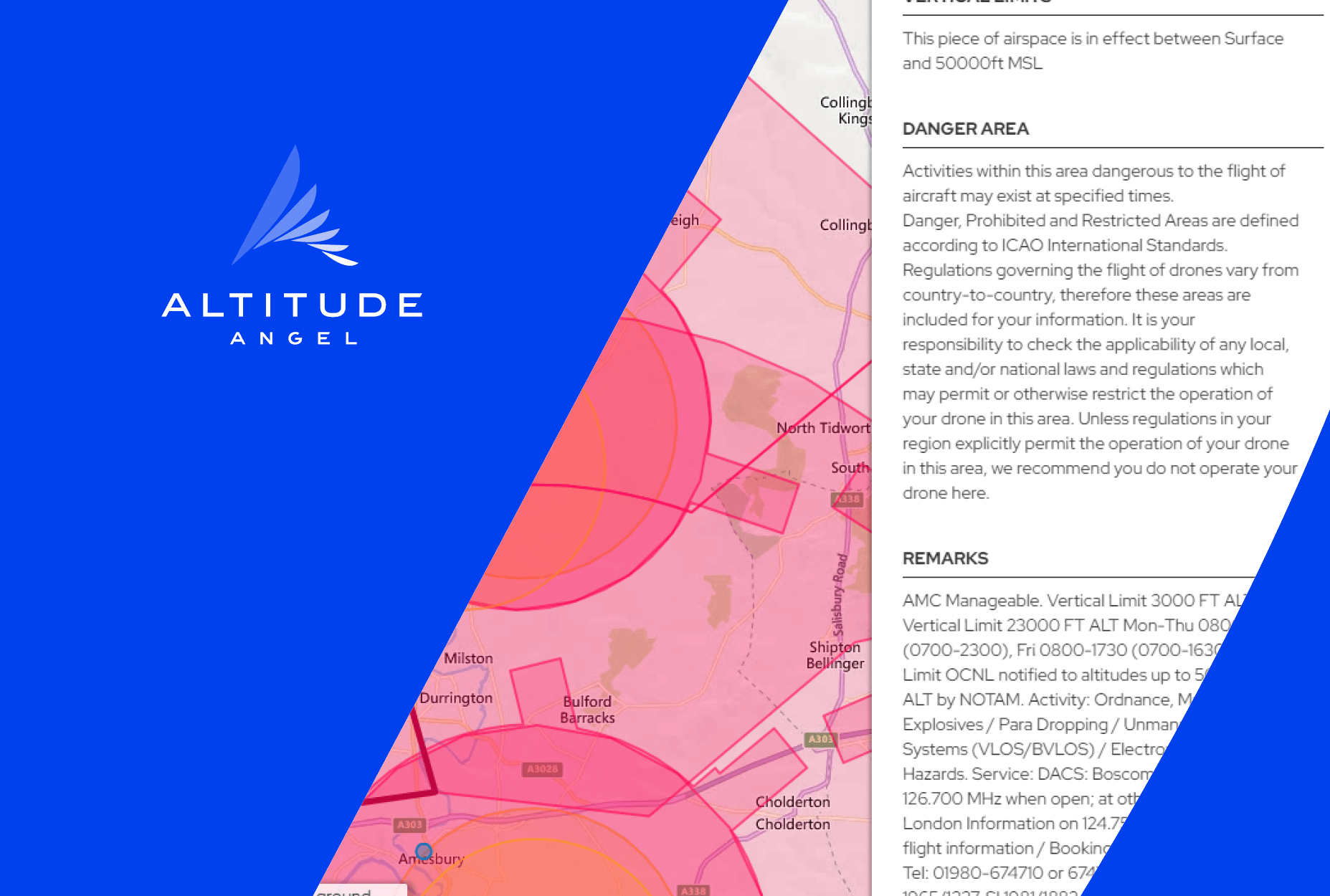
 Example image of a site showing Remarks in significant update to airspace map data
London, UK: Altitude Angel, the world’s most trusted UTM (Unified Traffic Management) technology provider, has today released two significant updates to its map data providing drone operators and recreational users with a greater understanding of airspace restrictions and NOTAMs (Notice to Aviators).
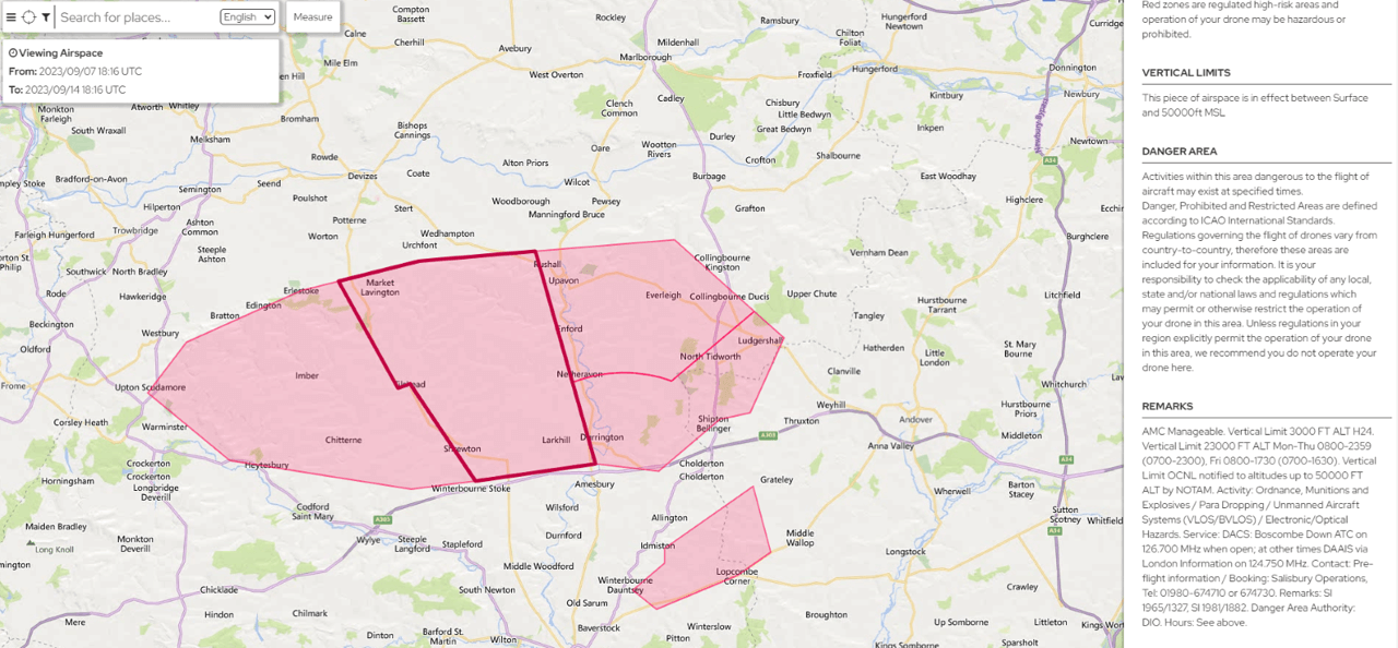
Following an update to Altitude Angel’s airspace data processing, it now publishes the Remarks for all ‘Danger, Prohibited and Restricted Areas.’ These are supplied by the relevant authority and typically provide other airspace users with more detailed information about the timing, nature of hazard, type of restriction, and authority contact details.
For example, Salisbury Plain is now displayed as:
The second update has been to process some additional NOTAM categories. Altitude Angel continuously review the type of NOTAMs it publishes through its platform, assessing their relevance to UAS operations and disregarding irrelevant ones, such as ATM infrastructure (e.g. radar systems), aerodrome services (e.g. firefighting) and the like. The latest update to the map data means some additional NOTAMs will now be available to see on the Drone Assist app and dronesafetymap.com as well as Cloud customers using Altitude Angel’s airspace data service.
The new categories are:
-
GNSS area wide operations (relating to jamming trials)
-
Obstacles (relating to cranes or rigs)
-
Captive balloon and Kite
Simon Wynn-Mackenzie, Altitude Angel, VP Product, said: “We’re constantly looking to see how we can improve and update our datasets, and what needs to be displayed. We do this to give users and customers the best service, so they can make informed decisions on flight operations using the most accurate, reliable, and up-to-date information.
“We’ve acted on feedback we’ve received from operators who have told us they would like a greater understanding of restricted areas, likewise different NOTAM categories which can pose a ‘risk’ when flying. We hope our users enjoy the additional data we’ve now made available.”
For more information about Altitude Angel, please visit www.altitudeangel.com.
ENDS
For more information, please contact:
Stephen Farmer, Altitude Angel, Head of Corporate Communications & PR
Notes to editors
About Altitude Angel
Altitude Angel is an award-winning provider of UTM (Unified Traffic Management) software, enabling those planning to operate, or develop UTM/U-Space solutions, to quickly integrate robust data and services with minimum effort.
Today, Altitude Angel’s market-defining technology is providing a critical, enabling service on which the future of UTM will be built across the globe. Altitude Angel is leading a consortium of businesses to build and develop 165 miles (265km) of ‘drone superhighways’ connecting airspace above Reading, Oxford, Milton Keynes, Cambridge, Coventry, and Rugby over the next two years. The Skyway superhighway network, enabled using Altitude Angel’s patented ARROW technology, will unlock the huge potential offered by unmanned aerial vehicles and be a catalyst to enable growth in the urban air mobility industry.
Altitude Angel’s first party solutions also power some of the world’s leading ANSPs, aviation authorities and Enterprises, including LVNL (Netherlands) and Avinor (Norway), empowering them with new capabilities to safely manage and integrate drone traffic into national operations.
By unlocking the potential of drones and helping national aviation authorities, ANSPs, developers and enterprise organisations, Altitude Angel is establishing new services to support the growth in the drone industry.
Altitude Angel was founded by Richard Parker in 2014 and is headquartered in Reading, UK.
Altitude Angel’s developer platform is open and available to all at https://developers.altitudeangel.com
Related News...
North Weald Airfield enhances visibility & safety with GuardianUTM
Posted by Altitude Angel Announcement
Altitude Angel awarded U.S. Patent for groundbreaking ARROW technology
Posted by Altitude Angel Announcement
Approval Services platform to launch at Marina de Lagos, Portugal
Posted by Altitude Angel Announcement