Network includes ADS-B, Mode S and SDR capabilities plus ability to detect existing and future ‘Remote ID’ broadcasts.
London, UK; Altitude Angel, the world’s most trusted UTM (Unified Traffic Management) technology provider, has today announced it has begun its deployments of what is planned to be the largest commercial, aviation-grade sensor network specifically optimised for wide-area low-altitude drone and aircraft detection, in the UK.
Incorporating purpose-built ADS-B and Mode S receivers, as well as comprehensive SDR (Software Defined Radio) capabilities, the network is also capable of detecting existing and future ‘Remote ID’ broadcasts from transmitters on drones, as well as collecting transmission information from the common control systems used to pilot them. This means the sensor network will detect drones which are intentionally electronically broadcasting their location, as well as many which are not. And due to the detection technologies used by Altitude Angel, low-flying crewed aviation can be detected and located using other passive sensors even when they are not broadcasting any signal.
This additional data received by the sensor network is ‘fused’ with Altitude Angel’s already extensive air-surveillance picture (taken from primary sources – such as the sensor arrays deployed on its ARROW towers and trusted secondary providers), to create a high-resolution, near real-time digital map of the low-altitude airspace.
The capability to detect aircraft and drones at lower altitudes is becoming increasingly important and yet, it is exceptionally difficult to do well. Existing systems offer patchy coverage and a ‘one-size fits all’ approach, which means low-altitude aviation broadcasts - such as those from low-flying general aviation aircraft - can be missed, are focused only one particular type of transmission, or due to the equipment used, are often delayed by up to a minute or more. Low-latency is of paramount importance to navigation: a key reason for Altitude Angel’s new network being launched.
The new network has been extensively tested across four sites, but is being rolled out to a further 30 sites across the Midlands and Southeast of England. Altitude Angel is also announcing a programme to enable authorities to soon extend coverage where required, in turn, giving them access to the overall surveillance picture.
“In building this network we’re building the most comprehensive, real-time picture of whatever is moving through the country’s low-altitude airspace,” said Richard Parker, Altitude Angel, CEO and founder. “Coupled with our ARROW technology, the sensor network is a key component in the enablement of the digitisation of low-altitude airspace, leading toward greater visibility of air traffic, and enabling automated BVLOS drone operations anywhere in the UK at scale, while providing operators of uncrewed aircraft the security they need to operate safely in unsegregated airspace.”
Most people are familiar with ‘plane tracking software’, such as Flight Radar or FlightAware, which are great for tracking large aircraft or aircraft at higher altitudes. However, the Altitude Angel network has been designed from the outset to facilitate new and future airspace users, such as drones and UAM operators, whose operations will largely take place in lower airspace.
A dedicated, new, network is needed because at lower altitudes broadcast signals from aircraft are not always reliably received since they were designed for broadcast at higher altitudes. This network is different because it has been specifically optimised and positioned to uniquely work across the UK’s topography, guaranteeing better reception.
Furthermore, the network is being rolled-out using certified, robust, and resilient aviation-grade hardware, and not reliant on hobbyist-style equipment, as is commonly the case. ADS-B is commonly used by general aviation and other air users to broadcast aircraft location and are sometimes carried by drones. Mode S is a Secondary Surveillance Radar process which allows for multilateration of each aircraft according to a unique 24-bit address, or remote ID.
Approved third parties may apply for access to the surveillance data stream through Altitude Angel’s Developer Platform.
ENDS
For more information, please contact:
Stephen Farmer, Head of Corporate Communications & PR, Altitude Angel
stephen@altitudeangel.com
Notes to editors:
About Altitude Angel
Altitude Angel is an award-winning provider of UTM (Unified Traffic Management) software, enabling those planning to operate, or develop UTM/U-Space solutions, to quickly integrate robust data and services with minimum effort.
Today, Altitude Angel’s market-defining technology is providing a critical, enabling service on which the future of UTM will be built across the globe. Altitude Angel is leading a consortium of businesses to build and develop 165 miles (265km) of ‘drone superhighways’ connecting airspace above Reading, Oxford, Milton Keynes, Cambridge, Coventry, and Rugby over the next two years. The Skyway superhighway network, enabled using Altitude Angel’s patented ARROW technology, will unlock the huge potential offered by unmanned aerial vehicles and be a catalyst to enable growth in the urban air mobility industry.
Altitude Angel’s first party solutions also power some of the world’s leading ANSPs, aviation authorities and Enterprises, including LVNL (Netherlands) and Avinor (Norway), empowering them with new capabilities to safely manage and integrate drone traffic into national operations.
By unlocking the potential of drones and helping national aviation authorities, ANSPs, developers and enterprise organisations, Altitude Angel is establishing new services to support the growth in the drone industry.
Altitude Angel was founded by Richard Parker in 2014 and is headquartered in Reading, UK.
Altitude Angel’s developer platform is open and available to all at https://developers.altitudeangel.com
Further information on broadcast signals:
ADS-B is commonly used by general aviation and other air users to broadcast aircraft location and are sometimes carried by drones. ADS-B signals are not generally required to be broadcast by all types of aircraft, are unencrypted and easily spoofable. However, ADS-B signals contain useful information such as the aircraft’s position and registration.
Mode S is a Secondary Surveillance Radar process which, unlike ADS-B, only broadcasts an aircraft’s ‘address’ (or registration number). In and of themselves, these broadcasts do not convey position information, but using a dedicated network of sensors, it is possible to use a process of multilateration (comparing the precise time each aircraft’s registration number is first seen across a variety of sensors positioned at geographically different locations) to estimate a position.
‘Remote ID’ is a term commonly used to describe broadcast signals in the unlicensed ISM waveband that new drones will be required to emit so that local receivers operated by any interested party can determine the location of a drone, it’s identifier and in many cases its pilot, too. The use of the ISM waveband means that apps that run on many phones could, in theory, also pick up the broadcasts.
In all cases described above, but less commonly for ‘Remote ID’, broadcast signals are usually aggregated en-masse using networks of hobbyist devices or receivers, commonly using a low-power computer such as a Raspberry Pi, or similar. These devices are not aviation grade, nor is there any intentional design used in the operation of the network: anyone can put any quality of sensor anywhere they like.
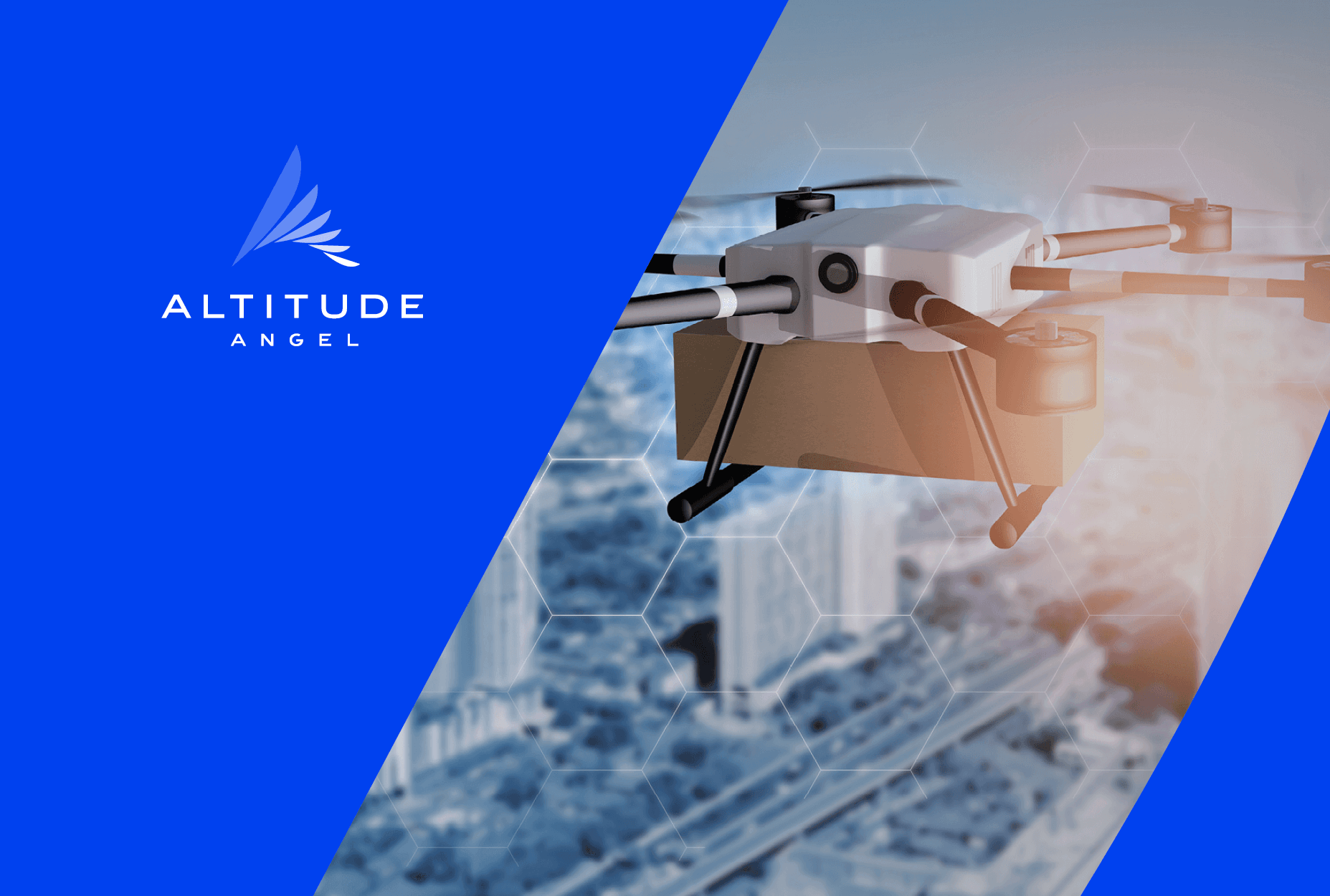 Altitude Angel network has been designed from the outset to facilitate new and future airspace users